
Northwest Map Activities: Designing Engaging Geography Lessons For The Classroom
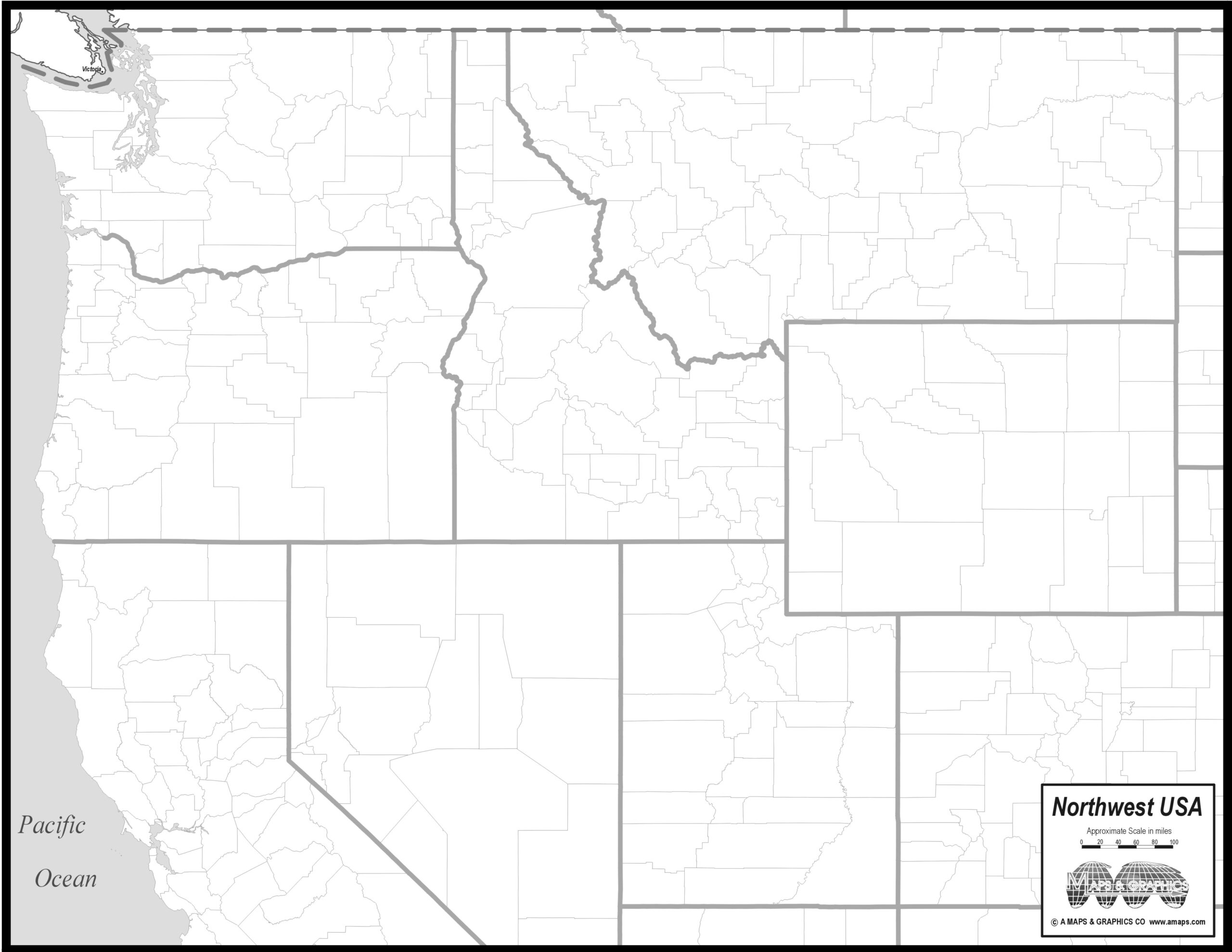
From a classroom activity designer perspective, a well-chosen map unlocks inquiry and collaboration. Students connect ideas about location, scale, and orientation as they explore real-world contexts. A clear, accessible map sets the tone for engaging geography activities that feel relevant and doable. Thinking ahead, I start with a plan that aligns objectives with a printable … Read more