
Northwest Map Activities: Designing Engaging Geography Lessons For The Classroom
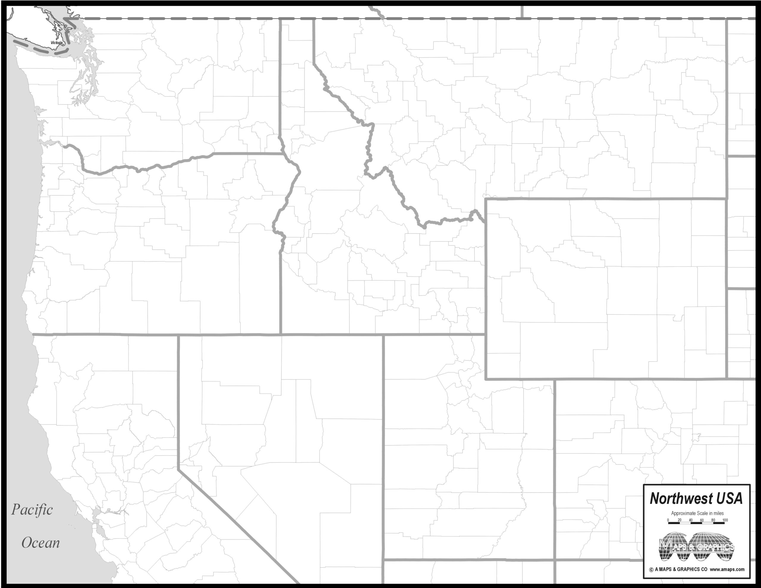
Map of Northwest USA showing state boundaries and river.

From a classroom activity designer perspective, a well-chosen map unlocks inquiry and collaboration. Students connect ideas about location, scale, and orientation as they explore real-world contexts. A clear, accessible map sets the tone for engaging geography activities that feel relevant and doable. Thinking ahead, I start with a plan that aligns objectives with a printable … Read more
South America Map Without Names: A Beginner-Friendly Geography Lesson Guide For Teachers

Outline map of South America's coastline on white background

As a geography teacher, I often begin with a wide, blank canvas: a map of the continent without labels. This approach invites students to explore spatial relationships before naming places. It also builds map-reading confidence early in the course. In this article I outline beginner-friendly steps, learning objectives, and practical activities for south america map … Read more

Draw Circles On A Map: A Teacher’s Step-by-Step Geography Activity For Kids

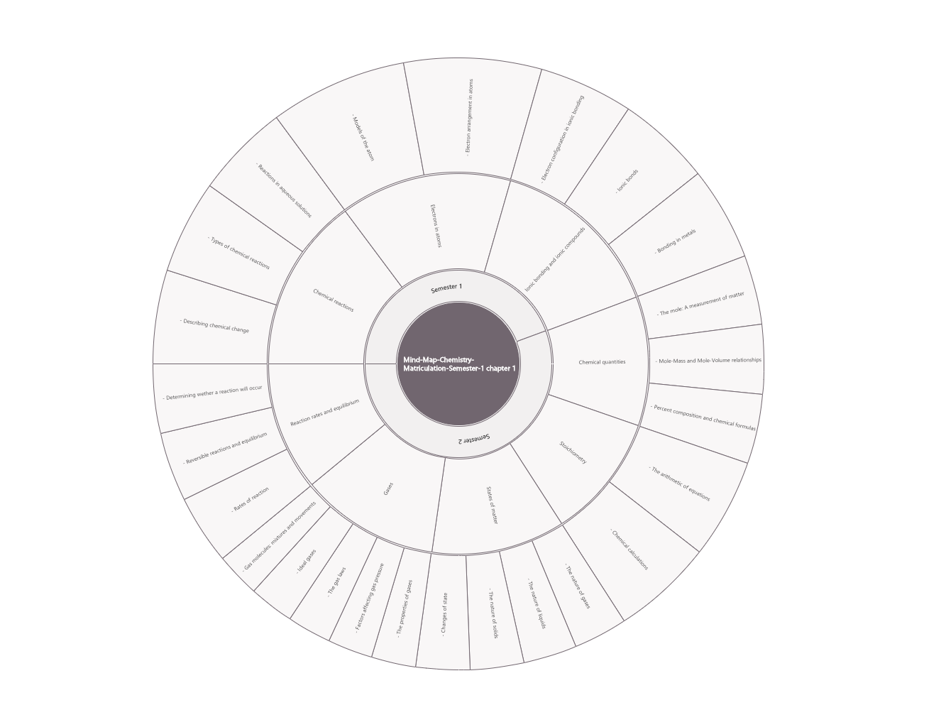
Dark center circle with white text, surrounded by wedge segments.

As your elementary classroom guide, I love turning maps into adventures. In this geography lesson, we practice locating places and thinking about distance by sketching circles on a map. Our activities use simple tools, friendly discussion, and careful labeling so every student feels confident reading a map. During our practice, students decide what the circles … Read more