
As a classroom activity designer, I craft adaptable resources that engage students through hands-on thinking. A well-designed map activity helps learners observe patterns, compare regions, and practice critical reasoning. My goal is to make geography feel visual and relevant, not abstract.
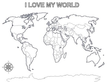
Using map coloring pages in small-group stations allows students to apply map literacy quickly. I pair templates with prompts: color by region, legend-based coding, or shading to reflect a feature. Students rotate roles as color-assigners, observers, and note-takers, which keeps engagement high. The approach supports differentiation by offering simpler blank outlines and more detailed labeled maps for advanced learners.
Choosing Map Templates
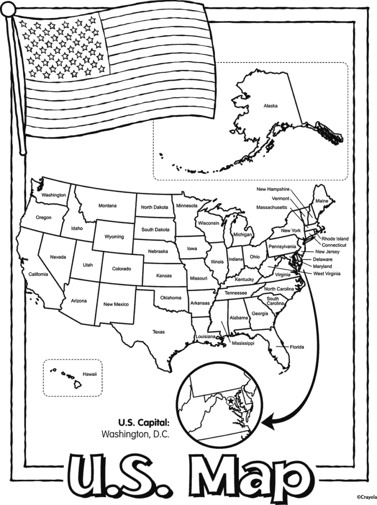
Pair a blank map with a short quiz that asks students to identify location clues, borders, or size relationships. Use a worksheet that asks them to label continents, fill in a legend, and justify color choices with evidence from a source. For research tasks, assign a region study sheet requiring locating at least three reliable references and summarizing findings in a concise outline.
To support research skills, have students compare a country profile to a continent outline. They search for official statistics or reputable sources, then update a printed map with color-coded symbols that reflect population, climate, or economy. A short reflective prompt asks them to explain how the mapped data supports their claim.
Map Types and Their Uses
Understand map templates like blank maps, labeled maps, and outline maps, and choose based on learning goals. Blank maps challenge recall of geographic names, while labeled maps scaffold vocabulary. Outline maps help students organize information before adding details, and printable map pages can be scaled for small-group or whole-class use.
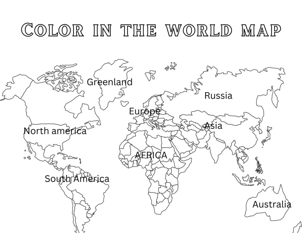
When printing, start with 8.5×11 inch sheets and consider landscape orientation for wider regional maps. Use a print scale that keeps labels readable and include a clear legend. Preview a test page to verify color contrast and line weight before distributing to students; check readability at actual size.
Assessment Ideas
Create a simple rubric that blends accuracy, reasoning, and presentation. A mini-quiz at the end of a map activity can verify location recall, while an exit ticket asks students to defend color choices with evidence. Encourage students to share outlines or annotated maps to expose their reasoning publicly.
Frequently Asked Questions
Q1: Best map type for beginners is blank or outline maps; A1: This approach builds vocabulary and sets up a framework for later labeling. Q2: How can I differentiate for mixed-ability classes? A2: Use tiered templates and optional prompts to adjust complexity. Additionally, verify geographic details from authoritative sources before class.
Q3: How should I format printed worksheets for readability? A3: Use consistent margins and clear legends. Q4: Can students work asynchronously on map coloring pages? A4: Yes, provide digital versions and flexible deadlines. Q5: How do I assess color choices made by students? A5: Use a rubric that weighs accuracy, justification, and presentation. Conclusion: With careful printing, template choices, and a structured quick assessment plan, you can build a geography activity that travels beyond memorization.