
As a history teacher, I aim to connect students with distant times and places through hands-on map work. A clear, well-used map helps students see how events unfold across space and time, turning dates into destinations and choices into directions.
Using a world map with longitude and latitude helps students translate stories into geography. It shows how empires expand, why trade routes move, and where cultures meet. Start with a printable blank map and a simple legend, then gradually add labels and lines as questions arise. This scaffolds inquiry and prevents premature conclusions about locations.
Coordinate foundations
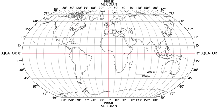
Activity one: Blank map labeling. Students receive a printable blank world map, a compass rose, and a light pencil. Learning objectives: identify continents and oceans, locate a few simple coordinates, and add legible labels. Steps: orient the map, mark lines of latitude and longitude, then label regions with color-coded pins.
Activity two: Region and country exploration. In pairs, students choose a region or country and use a labeled map to show where it is, how far it is from their location, and which hemisphere it sits in. They write a short caption explaining why geography mattered for a historical event, such as trade or migration.
Printing and classroom setup
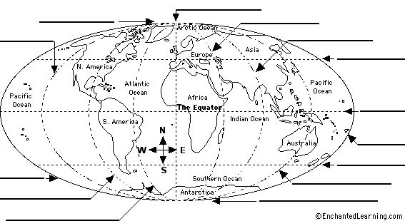
Printing tips and classroom setup. When printing, choose Letter or A4 paper and decide portrait or landscape based on the map template. For wide maps, landscape is best; for tall maps, portrait can work. Use modest margins, ensure labels are readable, and print a test page to check scale and legibility before distributing copies.
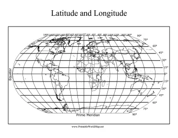
FAQ: Q1: What is the best age to start map work? A1: Begin around grades 3–4 with basic coordinates. Q2: How should I label features? A2: Use a legible font and one color per category. Q3: How can I verify accuracy? A3: Cross-check with a current atlas and teacher-approved sources. Q4: What's a quick assessment idea? A4: Have students explain one historical event by locating related places on a blank map.
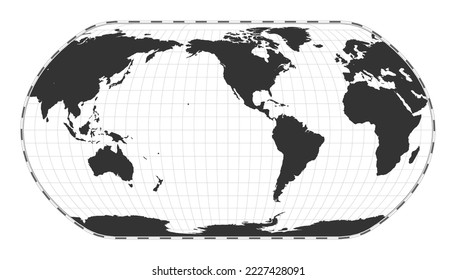
By combining a simple map template, guided activities, and clear objectives, students build geographic literacy while exploring history. Encourage curiosity, model careful evidence gathering, and provide reflection time. Remember that political boundaries can change and should be checked against current atlases. With practice, locating a country, tracing a route, and explaining why a place mattered becomes a natural skill for historians, not merely a worksheet task.