
As a parent, I love turning a quiet afternoon into a geography-inspired learning activity. A clear map template helps kids connect place names with real locations, turning curiosity into practical skills they will rely on for years to come.
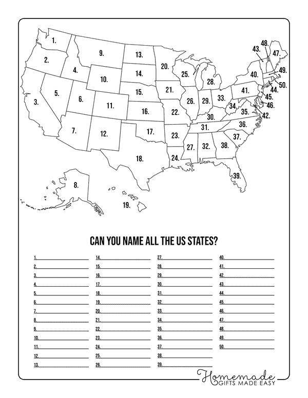
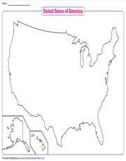
A usa outline map works well for beginners, giving kids a clear framework to practice labels without feeling overwhelmed. Before you begin, set a simple goal: build map literacy step by step while keeping the activity fun and age-appropriate. Our first task is choosing a map template that fits your child's age, then labeling places, regions, and landmarks as we go, while pausing to discuss how maps help people navigate daily life.
Map template choices
In this section, compare how blank outline maps, labeled maps, and filled printable maps serve different learning goals, so you can pick the right tool for the moment. A blank or outline map invites students to locate states and regions using compass directions and a map scale, while a labeled map adds memory anchors by including names and key cities. For a short quiz, swap between versions to test recall, then discuss mistakes to reinforce spatial thinking and describe why a location matters.
Next, turn the map into a research prompt that mirrors real-world inquiry. Have students pick a region and gather three facts about its geography, climate, or history, then place them on the map using sticky notes or labels. Encourage them to cite sources or discuss where they found their information. Compare how a region's features influence settlement patterns, transportation routes, and tourism, prompting them to draw evidence-based conclusions across multiple sources.
Printing and setup
As you prepare to print, choose letter-size paper 8.5 by 11 inches or larger if you have a larger group or a projector-based activity. Landscape orientation often fits a wide country outline better than portrait and makes it easier to place labels. Set scaling to 100 percent or use fit to page cautiously, then print a test page and adjust margins, fonts, and line weights until state names remain legible.
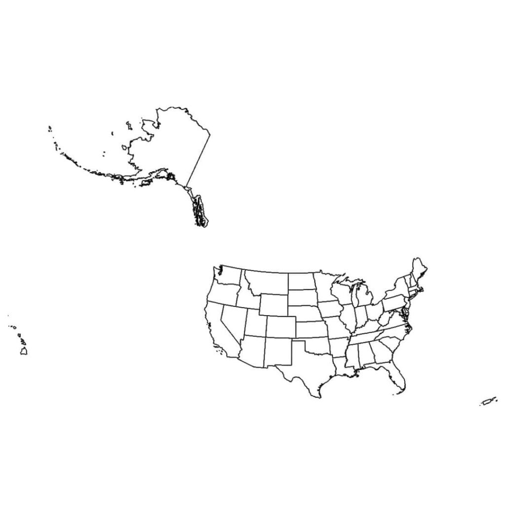
Think about pairing the map with quick quizzes, short worksheets, and mini-research projects to reinforce learning. For quizzes, label blanks and set a brief time limit so students stay engaged. For worksheets, require cut-and-paste labels, a short reflection, and a note on why the location matters. For research, assign a region task and ask students to explain geography connections, using the map as a reference and verifying boundaries with an authoritative source.
Frequently asked questions
Q: What is the best starting age for a map template? A: Start with younger elementary students using simple regions and a few key labels, then gradually add states or landmarks as confidence grows. Q: Should we include cities on the map? A: Begin with major regions and introduce cities later, waiting until students can accurately locate boundaries and directions. Q: How often should we review maps? A: Short, frequent reviews help reinforce memory and encourage applying map skills across other subjects.
Q: How can we verify map accuracy as students grow? A: Compare against a trusted atlas or updated classroom map and cross-check with an authoritative source. Q: Is a printable map enough for a long-term project? A: It can be, with clear tasks and occasional digital references to keep content current and engaging. Q: Should we keep using the same map template for several activities? A: Vary the task type or add a blank map to refresh skills and prevent boredom.