
Using A Blank North Carolina Map For Practical Geography Lessons In Middle School
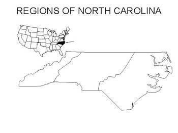
As a middle school social studies teacher, I begin geography lessons with a simple, hands-on tool—the blank north carolina map. It helps students visualize location, region, and scale while sparking questions about how maps represent the world. This practice directly supports their historical thinking. This approach keeps lessons practical and engaging for students. Using a … Read more