
Virginia Maps By County: A Cartography Enthusiast’s Practical Guide For Teachers
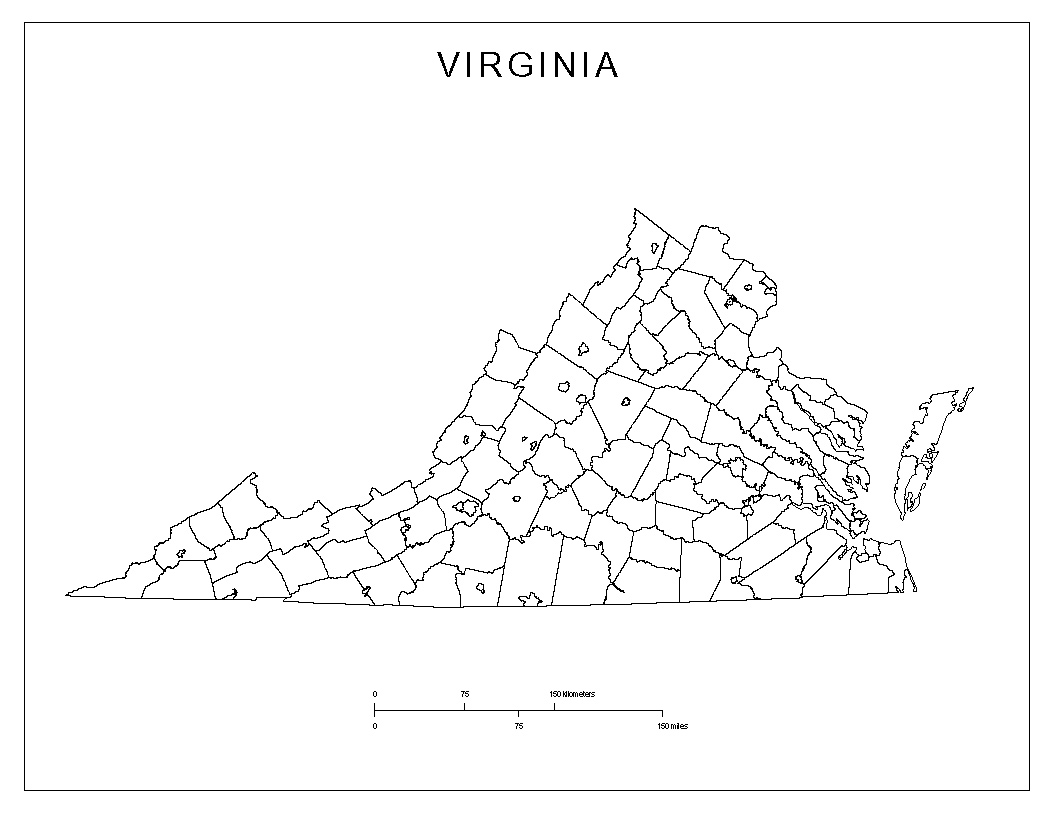
Outline map of Virginia showing county boundaries.

As a cartography enthusiast, I love exploring Virginia’s counties and how their outlines reveal history and land use. In classrooms, county-scale maps offer a tangible way to teach location, scale, and region. This article highlights practical virginia maps by county, and how teachers can use them to spark geography inquiries. Many teachers struggle to find … Read more
A Cartographer’s Guide To Amsterdam: Using A Printable Map Template For Geography Lessons

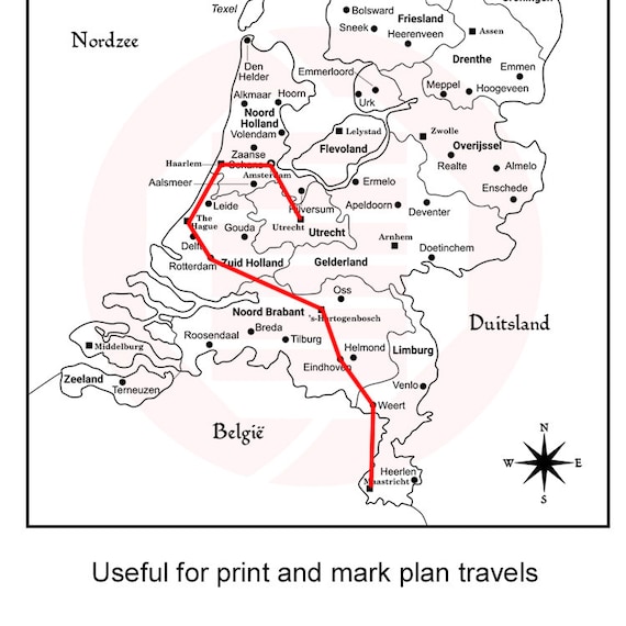
Map of the Netherlands with red travel route and compass rose

As a cartography enthusiast, I treat maps as living tools, tracing routes and waterways that shape city life. Amsterdam’s canal ring and compact grid invite close study of a printable map of amsterdam. Reading these layouts at a fixed scale helps students connect geography to history and daily practice. Two ideas guide effective geography lessons: … Read more