
As a geography teacher, I start with a hands-on activity that invites questions about distance and place. An outline canada map helps students visualize provinces, territories, and major regions. This simple tool builds confidence before labeling features or measuring scale.
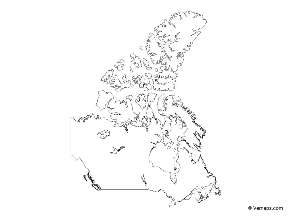
Clear learning goals guide every activity. By the end of the lesson, students should identify major regions, name several provinces or territories, describe where key cities lie, and use basic map language such as legend, scale, and orientation. Tasks are designed for diverse readiness levels, with options for collaboration or independent work, so students practice critical thinking while building a foundation in geography vocabulary.
Using a map template
Begin with a blank or lightly gridded map template. Have students trace coastlines, place major cities, and mark provinces or territories. For younger learners, provide color-coded regions and pre-labeled examples; older students can add borders and write region names themselves. A short routine, where students explain their reasoning for placement, builds oral language skills alongside geography knowledge.
Differentiated tasks match age and readiness. For primary grades, focus on locating a few places and using directional terms. For older students, introduce map scale and simple legends. Encourage collaboration with roles such as cartographer, navigator, and presenter. A labeled map reinforces spelling and helps connect geography with local region identities.
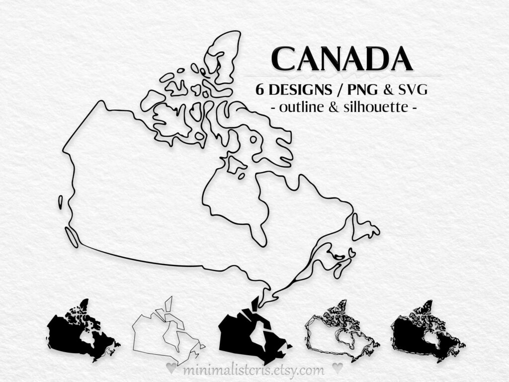
Printing and setup simplify classroom use. Choose standard paper size (letter or A4) and landscape orientation for a wide country view. Set a printing scale that fits the page while keeping legible labels. Leave margins around edges, use a light border, and run a test page before the class prints.
Explain differences between outline, blank, and labeled maps. An outline map shows boundaries and regions without labels, a blank map has no names, and a labeled map provides names and markers. When teaching about Canada, you can mix templates to help students connect location with region and governance structures, while a printable map supports independent practice.
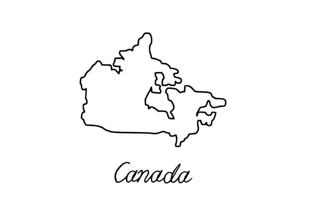
Use a simple rubric to assess accuracy, labeling, and clarity. Have students present their map, explain regional choices, and reference the legend and scale. A quick exit ticket can ask students to describe one region and one landmark. These checks help you gauge understanding and inform future geography lessons.
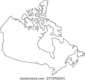
Conclusion: Hands-on map activities build literacy by connecting location, region, and country. Start simple, then add labels and scale to deepen understanding. FAQ: What is an outline map? A map showing boundaries without labels. How should I print for class? Use landscape orientation for wide views. How do I check accuracy? Cross-check with an authoritative reference and update as needed. How can I differentiate tasks? Vary the level of detail and prompts.