
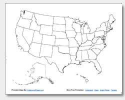
As a middle school social studies teacher, I plan around practical resources families can use at home. Free printable materials help geography routines start and sustain. When I describe a map-based lesson, I often mention free printable maps of usa to set expectations for students and parents.
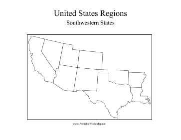
One realistic use case is a light lesson on state locations that fits into a 40-minute period. Students receive a blank map or a lightly labeled version and take turns adding state names, capitals, and one color-coded region label as a class discusses regions. They compare how geographers define borders, explore why borders matter for culture, travel, and economy, and then present a short explanation to a partner. A quick gallery walk afterward helps students articulate discoveries vocally.
Choosing map templates
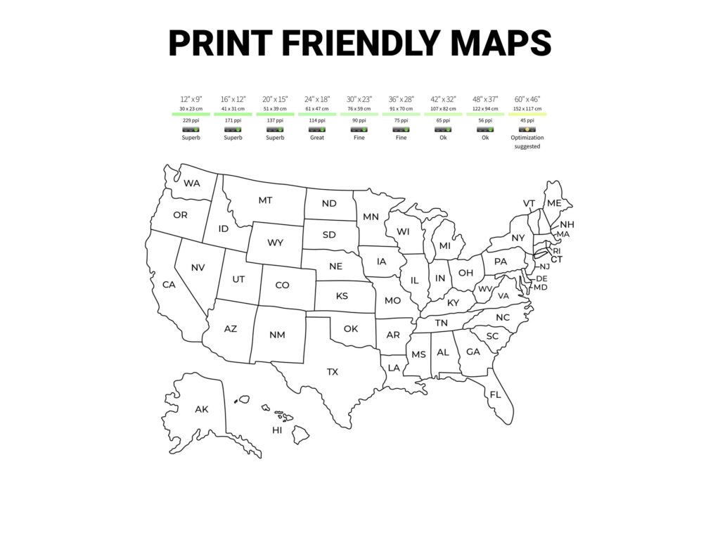
Choosing the right map template sets the tone for the activity and reduces confusion later. A blank map challenges students to recall geography knowledge without hints, while a lightly labeled or outline map provides scaffolding that matches their skill level. Use a legend with clear color codes for regions, and keep the font large enough to read from one desk or across a pair. If you plan pair work, choose templates that are easy to annotate and share.
Printing considerations matter for clarity because a crowded map wastes time and attention. Use standard 8.5×11 inch paper for handouts and consider larger sheets if students need to see details. Decide on portrait or landscape based on the content; landscape works well for continental views, while portrait suits country or state layouts. Adjust margins to prevent clipping, and test print a page to verify readability before making class sets. If you print several copies, use a simple color-coding scheme and keep a spare margin just in case.
Geography activity ideas
Geography activity ideas: For 6th grade, print a US map with state outlines and have students color by region and label capitals, then pair up to quiz each other. For 7th grade, use a labeled map to plot major rivers and mountain ranges, then discuss how geography shapes settlement, trade, and culture through short writing prompts. For 8th grade, compare maps showing population density and transportation networks across regions, analyzing advantages and challenges.
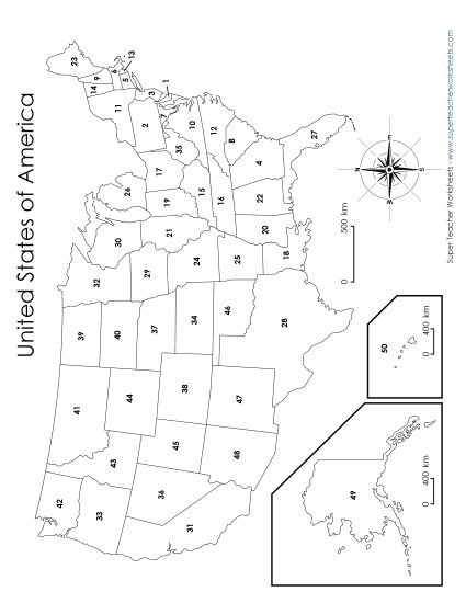
Tips for readability and accessibility: use high-contrast colors, large labels, and simple fonts. Provide rulers or scale bars when teaching distance and use, and offer options for students who require accommodations, such as larger print or dyslexia-friendly fonts. Encourage students to create their own mini glossaries of map terms as they work, then share definitions aloud. Include a quick exit ticket asking them to label three terms on their map and explain why the feature matters.
Frequently asked questions
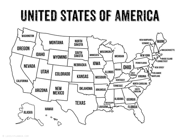
Q: What size should I print for classroom use? A: Start with 8.5×11 inch handouts, then display larger sheets if needed. Q: Should I print in color? A: Color helps distinguish regions, but grayscale works when costs matter. Q: How can I verify readability before class? A: Do a print test from feet away and adjust font size and margins. Q: Any tips for scaffolding? A: Use a lightly labeled map for beginners and gradually add labels as confidence grows.
Q: How often should we refresh maps? A: Reassess boundaries only when your curriculum requires it and verify with an authoritative source during the unit. Q: Can templates be reused across units? A: Yes, save and adapt them for different topics and grade levels. Q: How should I verify current geography information? A: Always check with a trusted source before teaching a map-heavy lesson. These careful steps turn planning into engaged, confident map learners.