
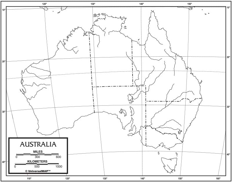
As a parent planning a learning activity, I start with a simple, hands-on entry point. A blank map of australia invites curious minds to sketch coastlines, place approximate locations, and discuss how a continent is organized, without overwhelming details.
To keep the plan manageable, I compare map types and decide what to print. Our first pass uses a map template that students can label later, reserving time for a quick, friendly check-in. The goal is to build spatial thinking and curiosity about geography rather than memorizing every boundary. We emphasize process over product.
Choosing the map template
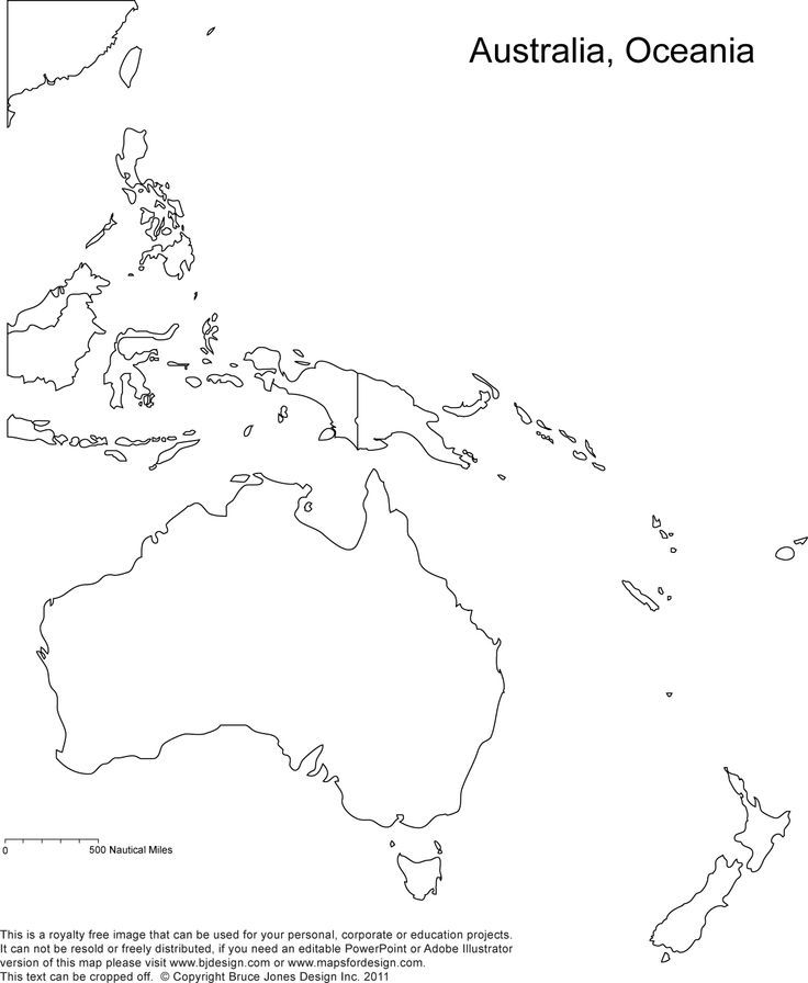
Begin by selecting a printable map that highlights outline and location. Decide whether to emphasize a regional focus, then explain the map's orientation and legend. If you use an outline or blank map, your child can add coastlines, state borders, and major cities with a pencil, which reduces overwhelm while building core geography skills.
Follow up with a lightweight worksheet or a short quiz. Ask students to label a handful of locations, identify the region where a city sits, or place bodies of water on the map. This helps you gauge understanding without derailing momentum. Keep the questions simple and allow brainstorming time and celebrate small wins.
Quizzes and worksheets
Use quick, low-stakes quizzes to reinforce learning after the map activity. A partner rotation lets students compare placements, justify decisions, and correct mistakes together. Then switch to a labeled map so they can see how names and coordinates relate to geography. End with a brief reflection on what surprised them about location and region relationships.
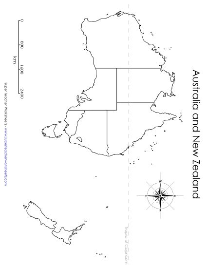
Bring in a simple research task that connects the map to real places. Have students choose a region or country and find one fact to share, such as a major city, a landmark, or a natural feature. Record findings on a short outline, then locate the feature on the blank map, reinforcing location, region, and the idea that geography links people to places. This builds curiosity about continents, countries, and the way maps frame knowledge.
Printing considerations
Print settings matter for readability and future reuse. Start with standard letter or A4 size in landscape if your map template is wide, or portrait for compact sheets. Set scale to 100% to avoid shrinking, and use 0.5-inch margins so labels fit without crowding. Print a test page, then review coastlines, borders, and legibility from a typical classroom distance to ensure readability.
FAQ
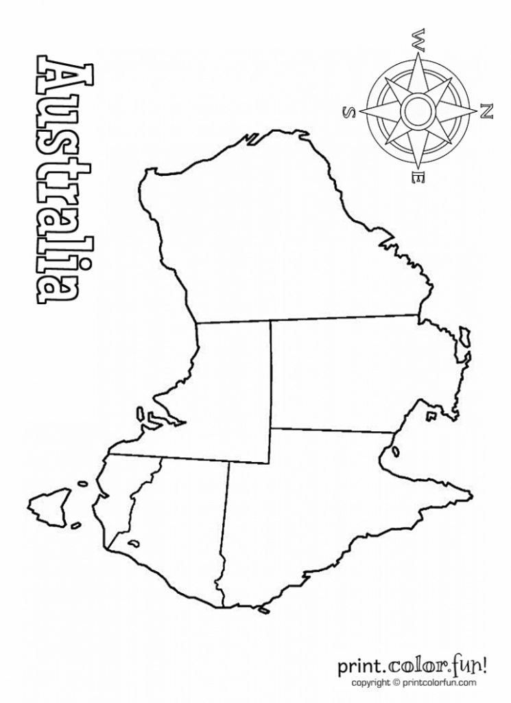
Q: How should I print a clear blank map of australia for younger children? A: Print at 100% scale on letter or A4 with minimal margins and use a bold font for later labels. Q: What is the difference between a blank map and a labeled map? A: A blank map shows outlines only, while a labeled map adds names to help learners practice location and memory.
Q: How can I assess learning without making it stressful? A: Use short, friendly checks like a quick labeling exercise and a brief oral recap.
Q: What paper orientation works best for kids? A: Landscape often fits wider region maps, but Portrait can work for a single-country focus. Q: How can I involve research safely? A: Provide a short list of credible sources and model note-taking in a simple outline. This activity builds confidence, connects geography concepts to real places, and offers a practical framework parents can reuse with another continent.