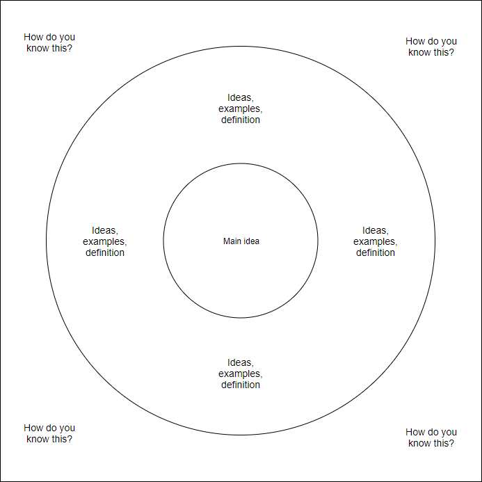
As your elementary classroom guide, I love turning maps into adventures. In this geography lesson, we practice locating places and thinking about distance by sketching circles on a map. Our activities use simple tools, friendly discussion, and careful labeling so every student feels confident reading a map.
During our practice, students decide what the circles should represent—cities they’ve studied, river basins, or playgrounds near school. To connect math and geography, we measure distance with a ruler and compare circle sizes. draw circles on a map to show where places are, then discuss observations aloud. This helps everyone see how maps tell stories and how careful placement matters.
Getting Ready
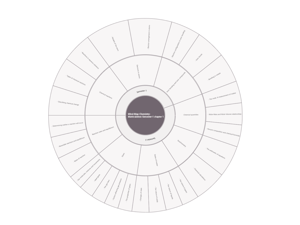
Step 1: Gather a blank map, pencils, a ruler, and a small circle template. Step 2: Choose a printable map template of your region and print it at a readable size. Step 3: Invite students to place a circle on a location and label it clearly. Step 4: Have small groups compare markings and share what they notice.
After placing circles, students add labels and check map features. We review map terms such as location, region, country, state, and continent, and explain how a legend and map scale help interpretation. We also discuss orientation—north at top—and remind students that labels should be legible without crowding the map.
Printing and Practice
Printing and display tips help ensure the activity translates from screen to page. Use standard letter size (8.5 by 11 inches) in portrait or landscape depending on the map shape. Set margins wide enough for neat circles, and scale the map to fit the page with clear print. Do a quick check by printing a test page.
Frequently asked questions about this geography activity: Q1: What is a map template and how is it used? A: It is a predrawn outline that guides where to place circles. Q2: What is a blank map? A: A page without labels to practice labeling. Q3: How do we verify current geography information? A: Check an authoritative source and classroom atlas. Q4: How can we adapt for different levels? A: Use larger circles, arrival times, and partner work.
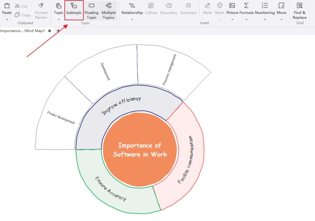
With these steps, your students gain confidence reading a map and using circles to highlight ideas. Encourage discussion, observation, and plain labeling so every learner can explain what they see. Regular practice with different regions, scales, and legends keeps geography meaningful and fun, building a solid foundation for future map-based projects.