
As a classroom activity designer, I shape map-centered learning that blends curiosity with skills. When students sketch oceans and continents, they practice geographic thinking and collaboration. The experience becomes tangible through a deliberate sequence that culminates in the drawing of a world map and a shared understanding of place.
We start with clear objectives, then choose an appropriate map template. Students compare a blank map, a labeled map, and a printable world map to understand layout, scale, and orientation. This comparison-led approach helps them articulate what a map conveys and what it omits, while building confidence in geographic vocabulary such as continent, country, and region.
Map activity foundations
Before drawing, I scaffold with a quick orientation warm-up. Students review a map legend, discuss map scale, and identify a few key landmarks. Then they choose a map template and decide whether to label countries, regions, or oceans. This preparation reduces anxiety and clarifies expectations, ensuring the activity remains accessible to mixed-ability groups.
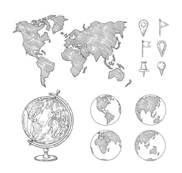
Next, students partner up to compare ideas as they outline their blank map. A brief set of prompts guides them to think about direction, proximity, and cultural context. Teachers circulate with targeted questions, encouraging accuracy without rushing. The emphasis stays on thinking over perfect drawing, so students invest in reasoning about location and connectivity.
Formats and templates
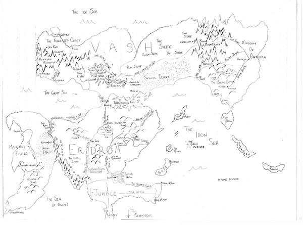
Use a printable map as the anchor or offer a blank map for open exploration. For beginners, start with a simplified outline of continents and major oceans, then add labels later. For more advanced classes, provide a labeled map template and encourage students to highlight regions, states, or countries with a color key. If printing, check paper size and orientation.
Compare three approaches side by side: a blank map, a labeled map, and a map with a legend. This not only reinforces geography terms but also illustrates how each format shapes reasoning. Students notice what information is essential, what is redundant, and how visual cues guide memory and discussion.
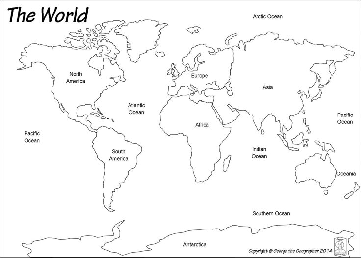
Quizzes, worksheets, and research integration
Pair the map activity with a quiz, a worksheet, and a research task. After drawing, students locate a region and describe a pattern. FAQ: How long does this take? A: 25–40 minutes. FAQ: Best map type for beginners? A: Printable outlines with guided labeling. FAQ: How is accuracy checked? A: A rubric focusing on location and reasoning. FAQ: How to adapt for remote learners? A: Use sketches or templates. FAQ: How to extend for learners? A: Add case studies or comparisons.
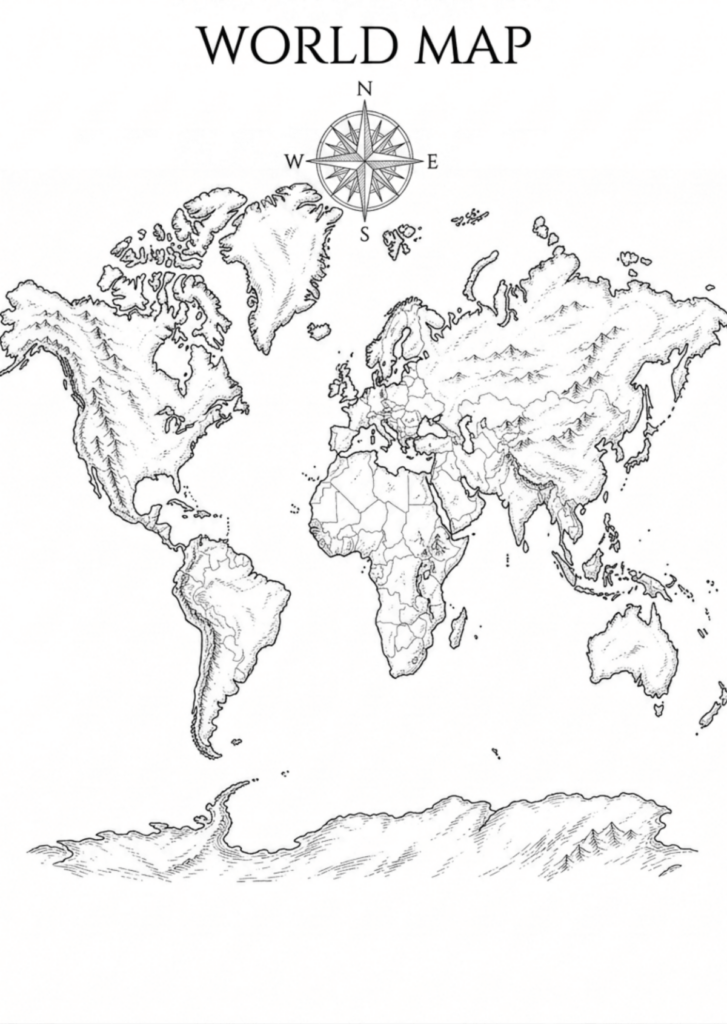
Conclusion: This map-centered approach blends hands-on creation with evidence gathering. By comparing formats, aligning activities with quizzes and research, and offering flexible templates, teachers can build geography literacy that lasts beyond the classroom. The key is to scaffold, model, and reflect, so students leave with stronger location awareness, spatial reasoning, and confidence in discussing how places connect globally.