
In my geography seminars, I invite students to study blank templates of the world, free from country names and borders. This approach highlights spatial patterns, landforms, and the challenges of map projection, inviting careful questions about scale, orientation, and data limits.
Using a map of world without names in class prompts discussion about visual literacy. When features are unlabeled, students test how much information can be inferred from location alone. We compare outline maps to labeled counterparts, analyzing where labels would appear and how fonts, colors, and margins affect readability. The exercise also reveals how projection choices can distort size or distance, encouraging precise language when describing continents and regions. By the end, students prefer methods that combine observation with justification.
Choosing the right map template
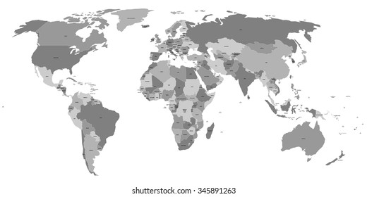
Consider your audience, the course purpose, and the level of detail needed. In an introductory class, start with a blank world map to emphasize spatial relationships before adding country names. In a regional seminar, switch to a labeled map for context, then back to a blank or outline map to highlight differences in interpretation.
Different map templates support different learning objectives. A blank map encourages students to locate continents and major regions without relying on labels; a labeled map reinforces recognition patterns; an outline map helps students compare political boundaries with geographic features. When teaching, vary the level of detail gradually and explain why each template emphasizes or de-emphasizes particular information.
Printing considerations
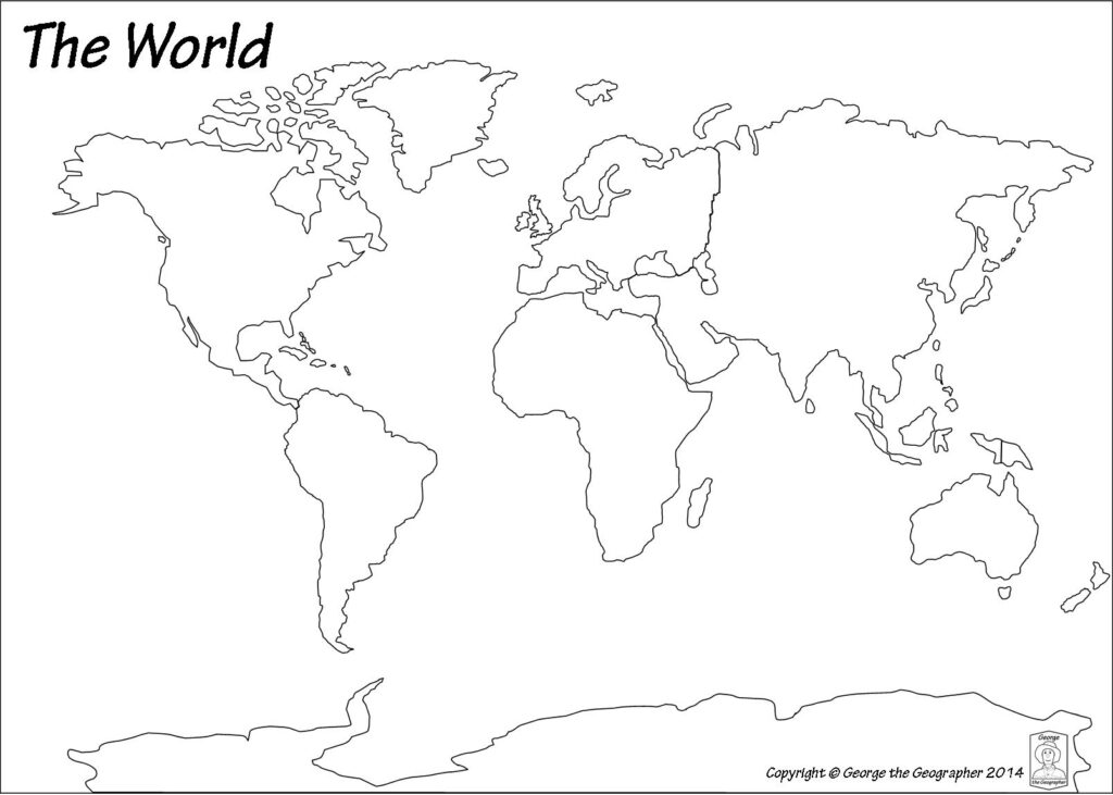
Printing a map template for classroom use requires attention to paper size, orientation, and readability. For world templates, landscape orientation is usually preferred, with a margin allowance that avoids clipping labels. Choose a printer setting that renders sharp lines and adequate color contrast. Always preview at 100% scale and compare the print to the screen to catch errors.
Maps can become outdated as boundaries, names, and administrative regions change. Encourage students to verify current information from authoritative sources before final assessments. A labeled map used for reference should be checked for accuracy, while a blank or outline map remains a neutral tool that invites ongoing discussion about how geography changes over time. Used thoughtfully, it deepens spatial thinking and prepares students to engage with maps as evolving tools.
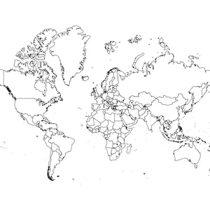
FAQ: What is the goal of a blank map in class? To train spatial reasoning beyond labels. How should labels be placed? Keep them minimal and legible. Which orientation works best? Landscape often suits world views, while portrait fits region slices. How often should updates be checked? Verify with authoritative sources at least annually. Can students annotate themselves? Yes, with clear guidelines to avoid clutter.