
As a cartography enthusiast, I love seeing a classroom light up when a map becomes a hands-on tool for discovery. A well-prepared printable resource invites students to explore scale, orientation, and place names, turning facts into meaningful geography practice. Here are practical ideas for planning a lesson.
When you plan a geography session, a printable resource should blend clarity with challenge. A printable map of the countries of the world helps students compare regions, label capitals, and trace borders while discussing projection choices and map scale. It also supports quick formative checks during a geography activity or station rotation. This article focuses on practical classroom use.
Lesson setup
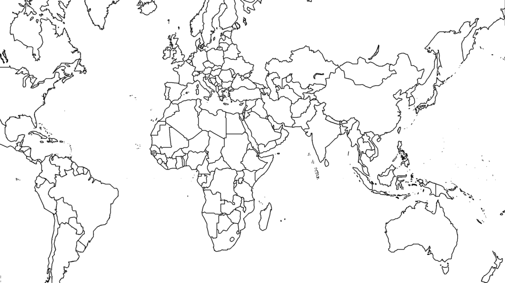
Begin with clear objectives. Decide whether students will locate continents and countries, compare population patterns, or analyze political changes. A good map template supports multiple tasks, from labeling features to color coding regions, so you can adapt to different grade levels and outcomes. Keep the lesson steps visible and assign roles for collaboration.
Printing and layout
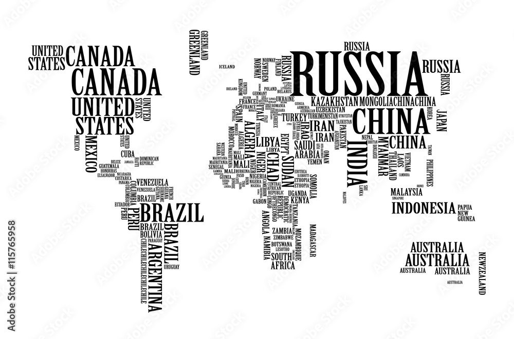
Before printing, decide paper size and orientation. A4 or Letter size in landscape helps long country names stay readable, while a smaller portrait page may work for miniature classroom stations. Set modest margins and use a printer with good sharpness to avoid faint borders. Do a test print and check whether labels appear crisp at the intended viewing distance.
Use the map template as a starting point for a geography activity that builds inquiry. Have students annotate with color-coded regions, highlight capitals, or trace migration patterns. Pair students to compare two regions and justify their color choices on the legend. A labeled map supports quick checks, while a blank map invites students to test recall and spelling of country names.
Practical classroom use
During a lesson, rotate quick stations that focus on location skills: point out a country on the map, locate its neighbor, and explain its regional context. Use a large wall map to anchor discussions, then give each student a personal printable map for a micro-task. After the activity, gather quick feedback to adjust for future lessons.
Assessment and updates
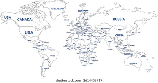
FAQ: How do I choose the right scale for a world map? A: Start with a legible scale that keeps country names from overlapping and test print. FAQ: Should I include political boundaries? A: Include them if your curriculum requires, but note that borders can change. How can I differentiate for diverse learners? A: Provide blank maps for exploration and labeled versions for support. How often should maps be updated? A: Check reputable sources at least annually.
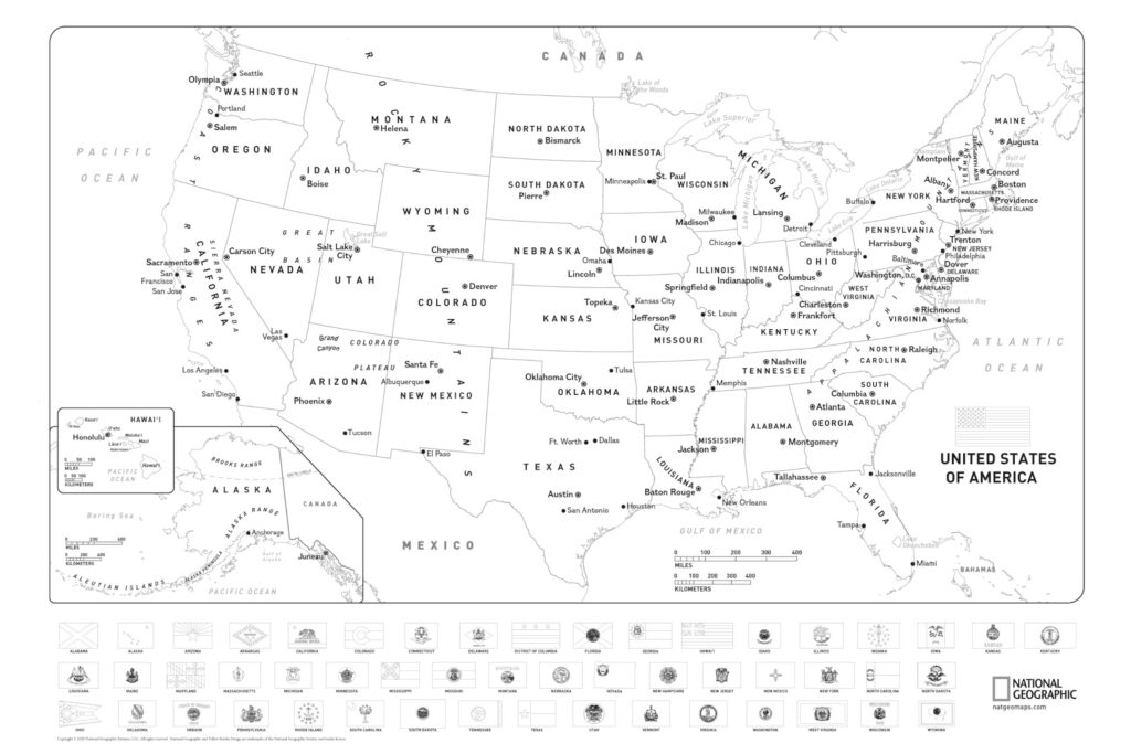
In practice, a well-structured printable map of the world becomes a flexible tool for geography lessons. Start with objectives aligned to your standards, choose the right map template, and plan printing carefully to ensure readability. Then guide students through labeled and unlabeled tasks, encouraging discussion about location, region, and map features while keeping boundaries up-to-date and relevant.