
As a history teacher, I often begin with a simple tool that invites curiosity: a blank map of North America. This quiet classroom moment connects geography to big ideas, encouraging students to ask questions about migration, trade, and empires. It sets a collaborative tone and makes abstract concepts tangible through lived stories and maps in motion.
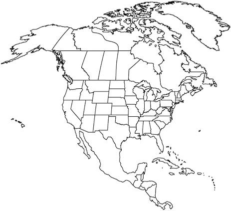
In the first activities, I distribute a printable map template and outline clear goals: label regions, identify major rivers, and practice basic map literacy. Students work in pairs or small groups to justify their labels, then share reasoning with the class. I hand out a blank map of north america and ask students to map potential routes, testing how geography shapes history.
Learning objectives and age-appropriate use
Across grade levels, students will identify continents and key regions, describe how location influences trade and settlement, and demonstrate basic map-reading skills. In elementary years, the emphasis is on recognition and vocabulary, while middle school tasks invite comparisons of regions and histories. High school guidance expands to analyzing cause and effect, using map evidence to support historical arguments, and evaluating how maps reflect biases and power dynamics.
Activity design moves students from independent labeling to collaborative inquiry. Start with a guided walkthrough of a labeled map to locate major features, then shift to student-generated prompts: where would a city thrive, which rivers shaped early travel, and how might a border shift alter trade? Students debate possible outcomes, record evidence in their notebooks, and conclude with a brief reflection on what the map reveals about people and places.
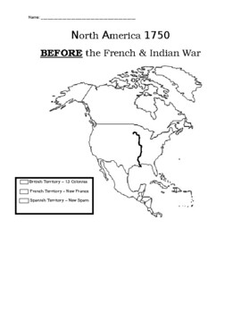
Printing, templates, and classroom workflow
Printing templates should prioritize readability and age-appropriate sizing. Choose a standard letter or legal size and opt for landscape orientation when you need wider labels. Leave generous margins for students to write, and test the print by printing a sample page to check label clarity, font size, and contrast. Also consider using light gray gridlines for subtle reference.
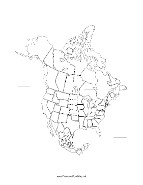
Frequently asked questionsWhat is the advantage of using a blank map?It builds geographic literacy by letting students label, discuss, and test ideas in context.How can I scaffold for younger learners?Provide guided prompts, a simple legend, and color-coded labels to reduce confusion.
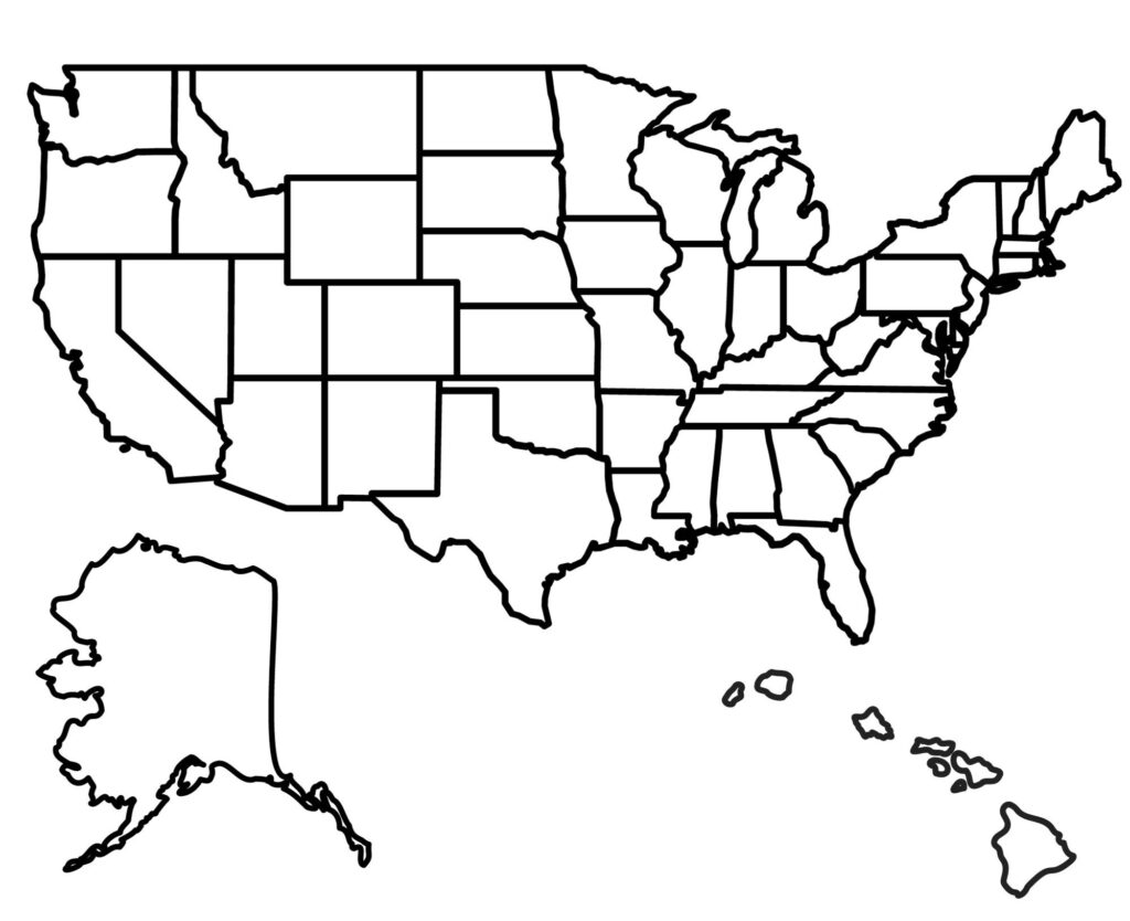
How do I assess student work on the map?Look for accurate regions, legible labels, and proper use of the legend and scale.What about maps that may become outdated?Verify current borders and territories with a trusted source before final assessment.In the end, the blank map template is a flexible tool that builds critical thinking, geographic literacy, and historical empathy by connecting place to story in a structured, age-appropriate way.