
Welcome to practical geography in a middle school classroom. I design lessons that help students read maps with confidence and connect location to culture. In our warm-up, we use world map printable continents to anchor discussions and set clear goals for the activity ahead.
Before the lesson, identify a practical use case: students locate continents on a blank map, then add labels and a legend to describe relative size and position. This module supports collaborative talk, independent checking, and formative assessment as students explain their choices. FAQ: Should I print portrait or landscape? A: Landscape is usually better for wide world maps.
Lesson goals
Choose a map template with blank outlines for continents, simple region labels, and a light legend. Start with one continent per page and add neighbors in a follow-up task to keep the activity focused. Use faint latitude lines to build comfort with scale without crowding the page. FAQ: How big should the printout be? A: An 8.5×11 sheet works for individual work; 11×17 can support group work.
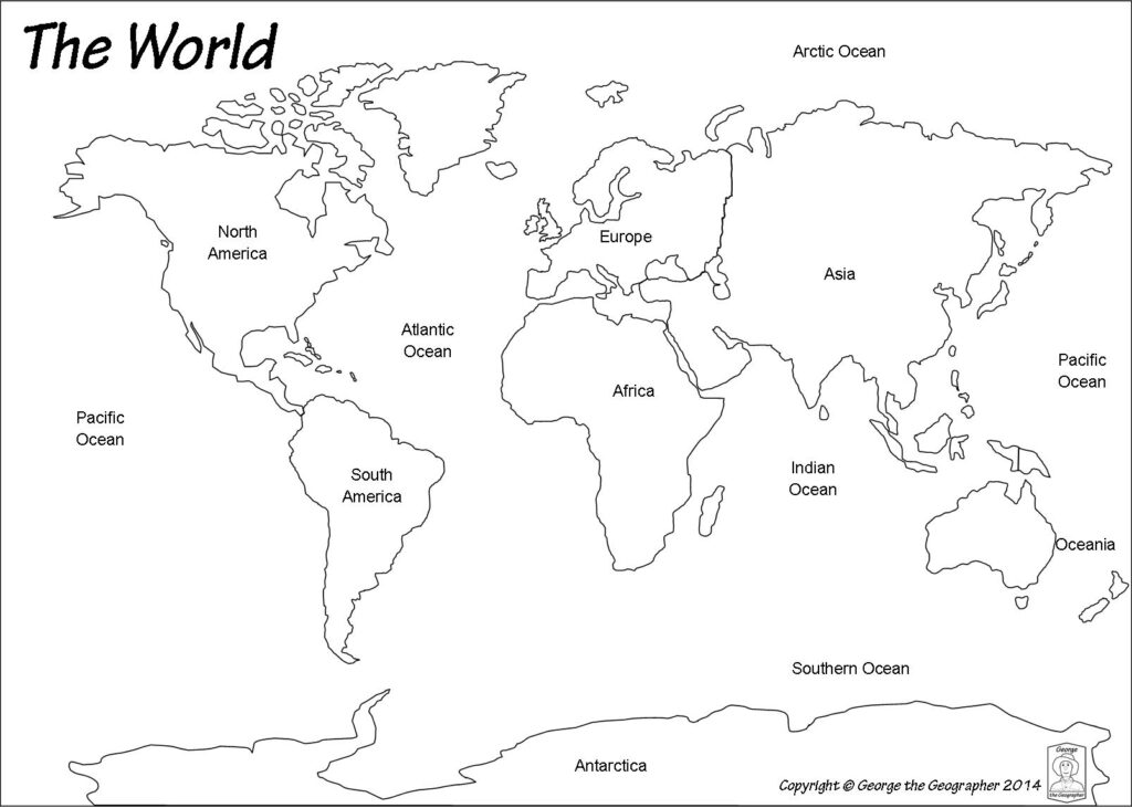
Plan printing with classroom realities in mind: use standard 8.5×11 or 11×17 paper, portrait or landscape as the map requires, and set narrow margins so labels stay legible. Test-print a page at actual size to confirm readability from three feet away, then adjust brightness and darken line weights if needed. FAQ: What margins are best? A: 0.5 inch margins minimize wasted space while keeping borders clean.
Hands-on activity
Example use case: students work in pairs to place labels for each continent on a blank map, then compare size and location. They write a quick sentence about one country or major landmark in that region, using a compass orientation and a grid reference. After labeling, peers review accuracy with a simple check-list (labels, outline, legend). FAQ: How can I scaffold for diverse learners? A: Provide pre-labeled maps and a bilingual glossary.
To reach all students, offer choices in how they represent information: color-coded regions, numbered labels, or icons for oceans and mountains. Use a clearly printed legend and high-contrast colors, and provide larger print options for students who need them. Allow oral explanations or short written notes to demonstrate understanding. FAQ: What is a quick way to emphasize legend? A: Have students point to features and explain what each symbol means.
Printing checklist
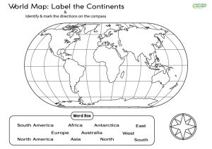
Finally, verify the printed map in real classroom conditions. Check that continent labels align with the outlines, margins are consistent, and the legend remains readable from the back of the room. If a page looks crowded, swap to a landscape orientation or break the activity into two sheets. FAQ: How do I check for readability quickly? A: Have a student read labels aloud from three feet away.
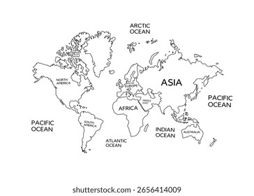
Conclusion: In summary, a well-prepared printable map supports inquiry, collaboration, and visual literacy. Plan templates, print settings, and scaffolds so students start with questions and end with explanations. Focusing on location and region helps connect geography to history and daily life. Give this approach a try in your next social studies class.